9/25/2013
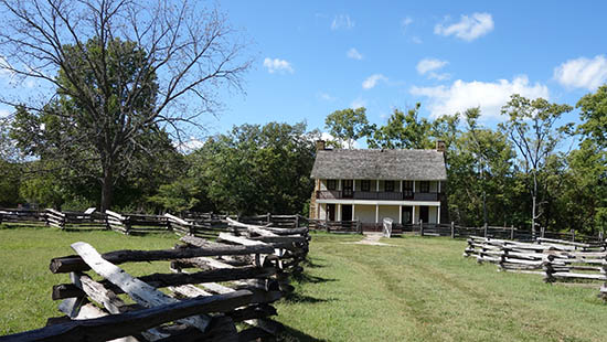
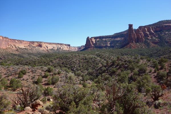
I left Pine Bluff (stopping at the Governor Mike Huckabee Delta Rivers Nature Center (forlorn animals; gloomy; depressing)), intending to stop at two small national sites. I knew nothing about them, but I’d been following a map that I’d picked up early in my trip that highlighted the location of all the national parks, monuments, historic sites, and so on. I operated under the principle that if something was good enough to be a national site, it was good enough for me. And although parks like the Grand Canyon and Yellowstone are as crowded as Times Square, other places are beautiful, empty and interesting. You’d never pick them out otherwise. I’d seen that in Lava Beds, and Arkansas Post was a similar place. I wished there was camping there, because I’d love to have stayed.
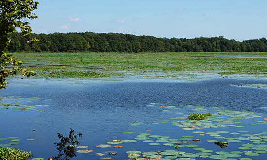
Backwater of the Mississippi, viewed from Arkansas Post
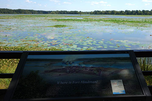
Arkansas Post is was a naturally important location, the confluence of the Arkansas and Mississippi rivers. It’s one of those sites where history has accumulated, slowly and steadily, like silt accreting at the bend of a river. The first white settlement in the area was in 1686 – a distant French outpost on the Mississippi. It changed hands in 1763 – the Spanish took over. Built a little fort. Americans settled nearby, right after the revolution.
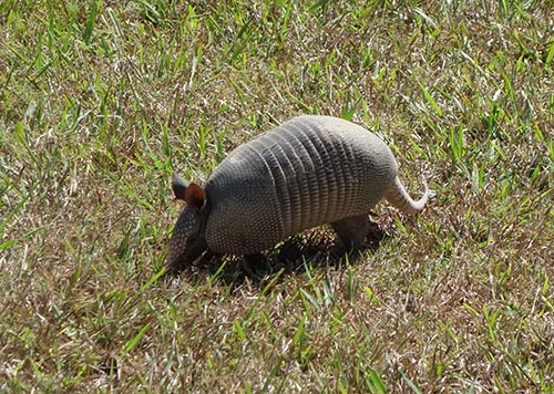
Armadillos are a source of leprosy
Far away, Napoleon concluded a treaty with Spain, was granted the land, then sold it 4 years later to the US as part of the Louisiana Purchase. The center of cultural gravity shifted away and Little Rock gained more prominence. The fort was occupied by Confederates, then Union forces as part of their campaign down the Mississippi. The river moved, and settlement with it.
The former town – now concrete memorial sidewalks
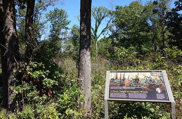
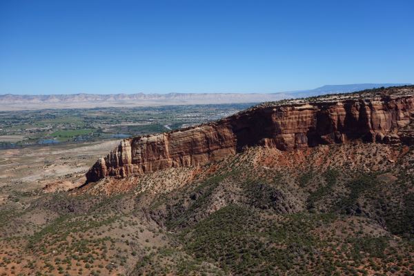
That’s a lot of history, and not much remains. If there weren’t any plaques out, and the lawns weren’t mowed, you’d have difficulty spotting it. There’s some paths laying out the buildings of the settlement. There’s some trenches still visible, from the Civil War, and there’s an invisible fort submerged in the Mississippi.
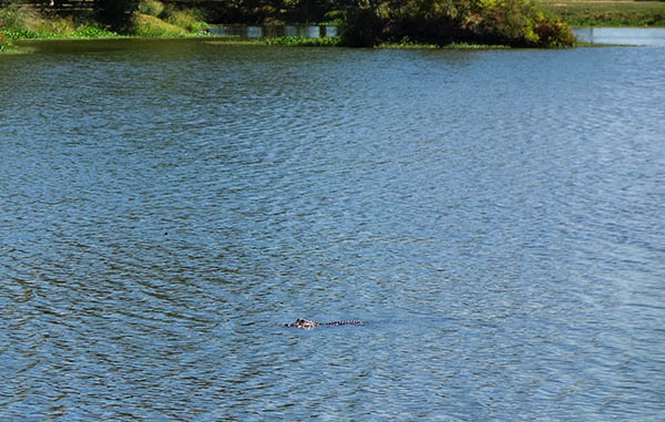
Gator!
There’s also some wildlife I hadn’t yet seen before on my trip. I saw my first-ever alligator in the wild, a small one swimming in a pond in the center of the park. And I saw not one, but two armadillos. They’re pretty cute, and they move by hopping.
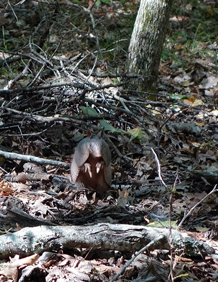
Armadillo!
The heat was pretty oppressive though, even at the end of September, and humidity stifling. No way did I want to stay in the sun.
There was a fort here in 1863, but the river changed course
I was pretty much on the border of Louisiana, and I’d dip into the state for my next stop: an even more obscure National Monument called Poverty Point.
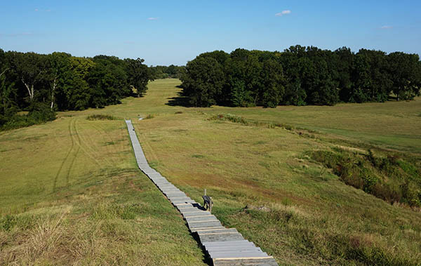
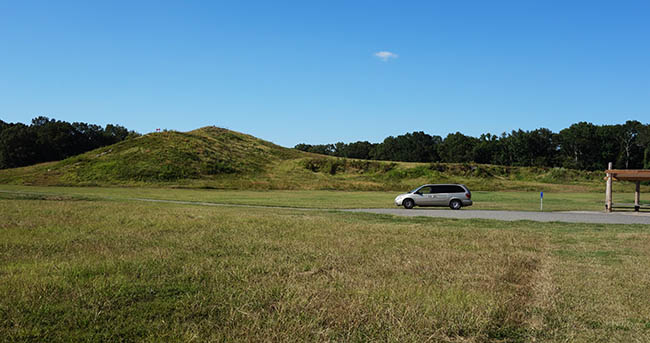
Stairs up the main ‘bird mound’ at Poverty Point
In fact, it’s a quasi-National Monument. I’m not quite sure what it is. It was listed on my map, but the people in the visitor center weren’t aware that it was a National Monument. It’s administered as a state park (and, as of 2014, a UNESCO World Heritage Site – but I was there before it was cool).
This place was just way out in the middle of nowhere, in the far northeast corner of Louisiana. It’s a noticeably poor area, but a nice place to drive around, with calm windy empty roads, even if I felt out of place. I also encountered something bizarre. As I passed vans and cars along back roads, I saw them waving at me. “What’s wrong with my car?” I thought. Maybe I had a leaking tire? Or maybe one of my lights was out? Or were they laughing at my NY plates? But no, I figured it out eventually – that half-wave from the steering wheel – that was just people being friendly. So I started waving back, and I’ll be honest, it felt pretty good. It’s a beautiful little custom that I hadn’t seen anywhere else. Maybe it’s common elsewhere, but you certainly don’t see a lot of strangers waving at you on the coasts.
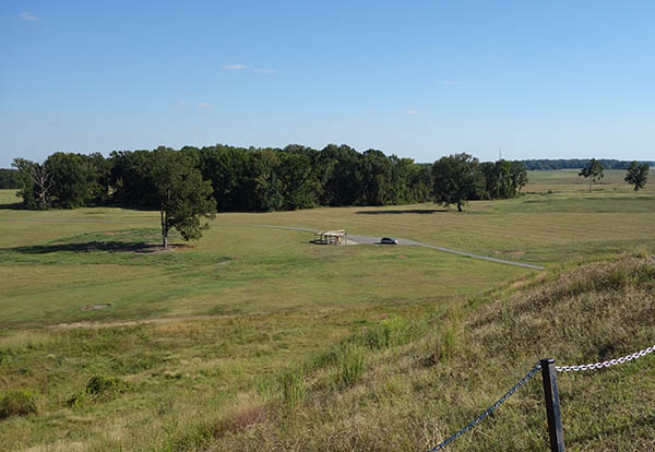
The van from the very top of the mound
Anyway, Poverty Point is an archaeological site that was home to a unique Native American group which occupied the area between 2700 and 3700 years ago. They were mound builders, a type of culture that was pervasive throughout the Mississippi river valley, all the way up to Ohio. There was some village here, and they constructed huge concentric rings of earth and a big ceremonial mound in the shape of a bird. Afterwards, it was home to a plantation (named Poverty Point, hence the name). It was farmed and some of the mounds were smoothed away, but there’s still a lot of remnants. And the big, bird-shaped mound is still around. It’s gigantic.
There’s a small museum at the park, and you can drive around a bit and take a self-guided tour, but there’s not a whole lot to see. But that’s like saying there’s not a whole lot to see at the pyramids in Egypt. This little state park/national monument is a hidden treasure. I didn’t see anyone else while I was there, and these mounds are just enormous. And they were built quickly: the biggest one, in just three months.
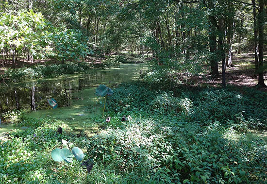
Arkansas Swamp
It’s also mysterious because archaeologists have basically no idea what happened here. What was the function of the mounds, generally? And specific mounds? When were they built, and by whom? There’s vague outlines of a picture, but so much is unknown. Probably aliens.