9/24/2013 – 9/25/2013
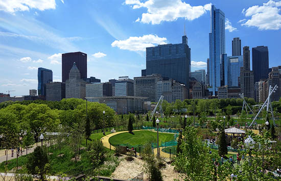
Leaving Wyoming, my plan was a mad rush across the midwest, Cannonball Run-style. It’s nice country, of course, but there’s not a whole lot of landmarks. And, I’d been traveling for two months, following a very aggressive schedule. I did want to get home. So, I covered the land between Cheyenne, Wyoming and Pine Bluff, Arkansas, in two days. It was pretty much straight driving. I mostly listened to Shelby Foote (with his amazing drawl) narrate the siege of Vicksburg, an audiobook I’d been listening to since Utah.

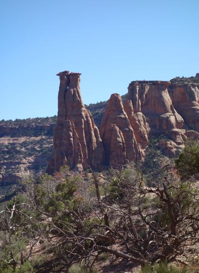
The rough cross-country route
I spent the first night of this dash near Kansas City. I had dinner in a Fridays (I figured it was a fitting tribute to middle America) and watched the Broncos play the Raiders while I indulged in nachos. There were a lot of chain stores that looked reasonable as sleeping locations, but they were a little too mall-like for me to be comfortable.
I suppose it’s worth mentioning in some depth my accomodations. I always preferred campsites, when available, but in places where no campsites were available (either because I arrived too late, or because there was simply nothing nearby), I slept in parking lots. Which is free.
There’s a few welcoming places to sleep: generally you can doze off for a while in rest areas without worrying. I did that on the drive out west. A lot of Wal-Marts are welcoming, but some are not. I didn’t have a smart phone, so I generally tried to borrow some Wi-Fi sitting in my car outside fast food joints, or inside coffeeshops. There were a few websites reporting on which Wal-Marts welcomed overnight campers and which did not.
If Wal-Marts weren’t available, I’d try (mostly) empty chain stores, malls or all-night McDonalds. And finally there’s hotel parking lots – it’s expected that people will park there, but it still felt somehow more wrong than parking elsewhere.
I got pretty nervous generally – more than I really ought to. I was only woken up once, in a Wal-Mart that didn’t allow overnight camping, but the friendly security guy directed me to a McDonald’s that allowed all-night parking. Mostly for truckers. I take this as a sign that I erred on the side of caution, but I dreaded being woken up in the middle of the night. And in a lot of places that I parked, malls mostly, where I could see security cars driving around. But hey, it’s a free place to spend the night.
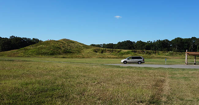
The next official stop after Wyoming – George Washington Carver NM
My first official stop after all that driving was George Washington Carver National Monument, in western Missouri.
There’s a striking difference between the land in Missouri, compared to Wyoming, and especially Utah. To be honest, Missouri doesn’t look much different from NY. It’s still familiar. Similar trees, similar hills. It felt like I was finally reaching home. Which is strange – on a map, Missouri is midway between NY and Arizona. But it feels pretty similar to the northeast.
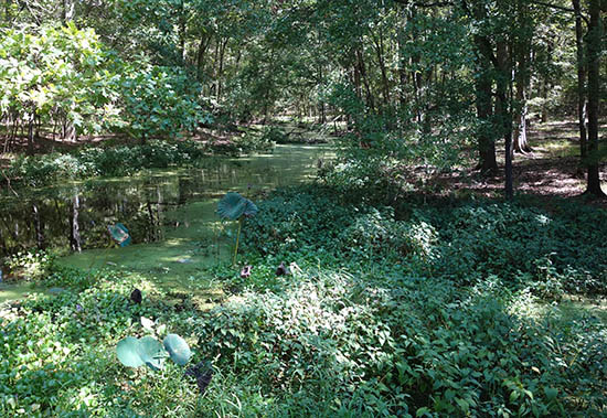
George Washington Carver National Monument is a small monument – a little museum, a walk around a field and into the woods, a little farmhouse and pond. It’s the kind of monument you can imagine local schoolkids being forced to endure for annual fieldtrips.
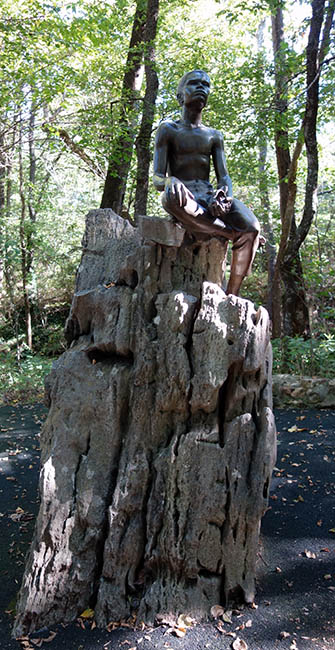
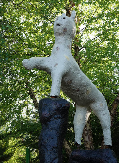
Statue of George Washington Carver
I’ll be honest, I didn’t know much about George Washington Carver before my visit, but he’s an interesting guy. Mostly a botanist, he’s widely known for his work with the peanut, but he was a polymath, and also one of the first in a generation of black leaders who was born into slavery, but grew up free and became a self-made man.
As for the peanut – well, he discovered over 300 uses for it. Among them: massage oil, hair oil, meat substitutes, paint, “evaporated peanut beverage,” fuel briquettes, laundry soap, insecticide, etc.
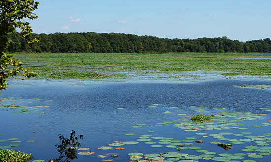
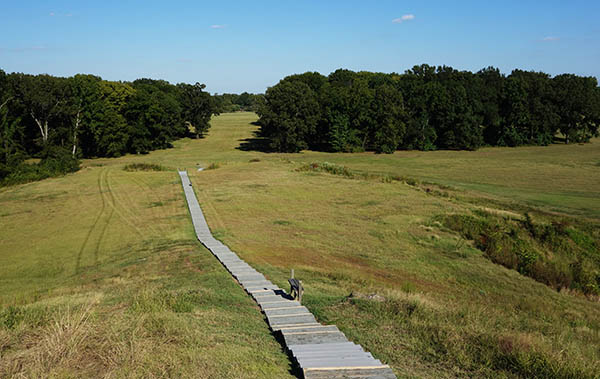
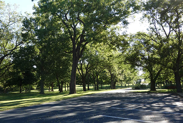
Typical view at Pea Ridge
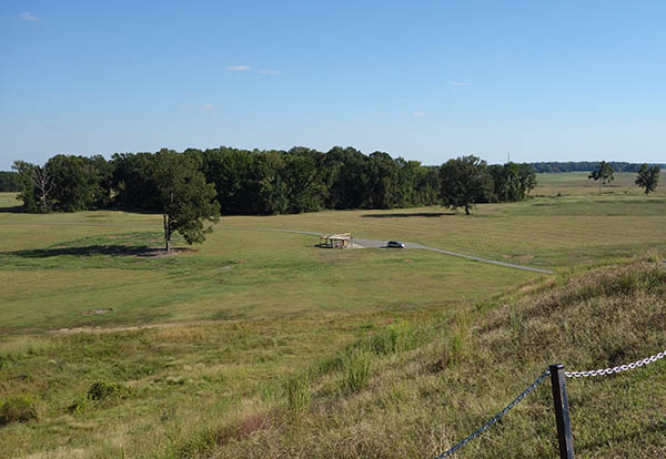
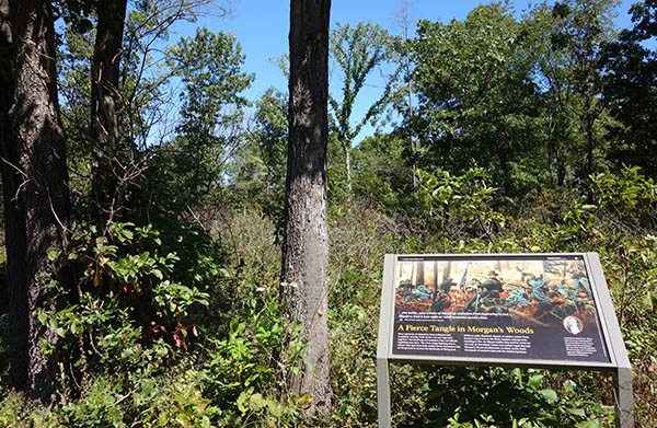
My next stop was Pea Ridge National Military Park, in Arkansas. This was the sight of an early Civil War battle, and one of the more influential early battles on the western front. By Civil War standards, it was a tiny affair – about 25,000 men, total, with 3,000 casualties. But it cemented Union control of Missouri.
This was the first battlefield I’d visited in something like 10 years, since a trip through Virginia with my father visiting Civil War sites. Maybe my imagination had suffered in the interim. It’s exceedingly difficult to imagine what these battlefields were like 150 years ago. Maybe impossible. Consider that, even for the battlefields which have been ‘preserved,’ there has usually been farming in the interim.
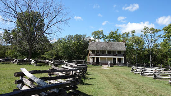
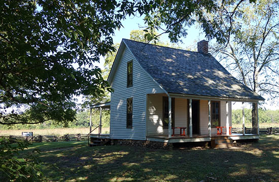
A rare surviving farmhouse from the 1860s
More than that – most trees don’t live 150 years. Forests that may have been thick brambles could have grown, their undergrowth thinned. Likewise, what looks impenetrable may have been easy to ride a horse through. About the only terrain you can trust is the ground itself: hills rarely move. But it’s a real struggle to imagine what things would have looked like.
As my goal in visiting the southeast was primarily to check out Civil War battlefields; I knew after visiting Pea Ridge that I’d have to develop some kind of system. It wouldn’t do to stop by the visitor center and then do a loop around each park in the van. I’d learn nothing. No – I had to really understand what took place, and be able to situate it in the landscape. I did figure out a system – subsequent visits to battlefields would be more fruitful.
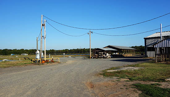
Arkansas Aquaculture Facility
Four hours from Pea Ridge, in the evening, I pulled into my final stop for the day: Pine Bluff. Shocking though it may be, I had a friend in Arkansas. I knew Justin from college; he and his wife were living in Pine Bluff while he studied aquaculture at a nearby university. I spent the night in the parking lot of their apartment, and the next morning I got a tour of an aquaculture facility. I’ve become increasingly interested in farming systems (particularly the automation of them), but I know nothing about aquaculture. Some of the things I heard were eye-opening.

Such effishient farm animals!
For instance, the mass of calories consumed, compared to the mass of meat generated, is off-the-charts for fish compared to cows or chicken. This number, the feed conversion ratio, can be something like 5-20 for cattle, or 3-4 for pork. For fish, it can be as low as 1.2, and generally is in the area of 1.5. That means that something only 20%-50% of the food that a fish is fed is ‘lost’ as energy expenditure. This is attributable to the fact that fish expend little energy supporting their bodies, since water does most of the work. The only comparable animal is crickets, and I don’t see many people lining up to eat those.